-
 Geospatial Products & SolutionsFastest Growing Geospatial Application Development Company.
 -
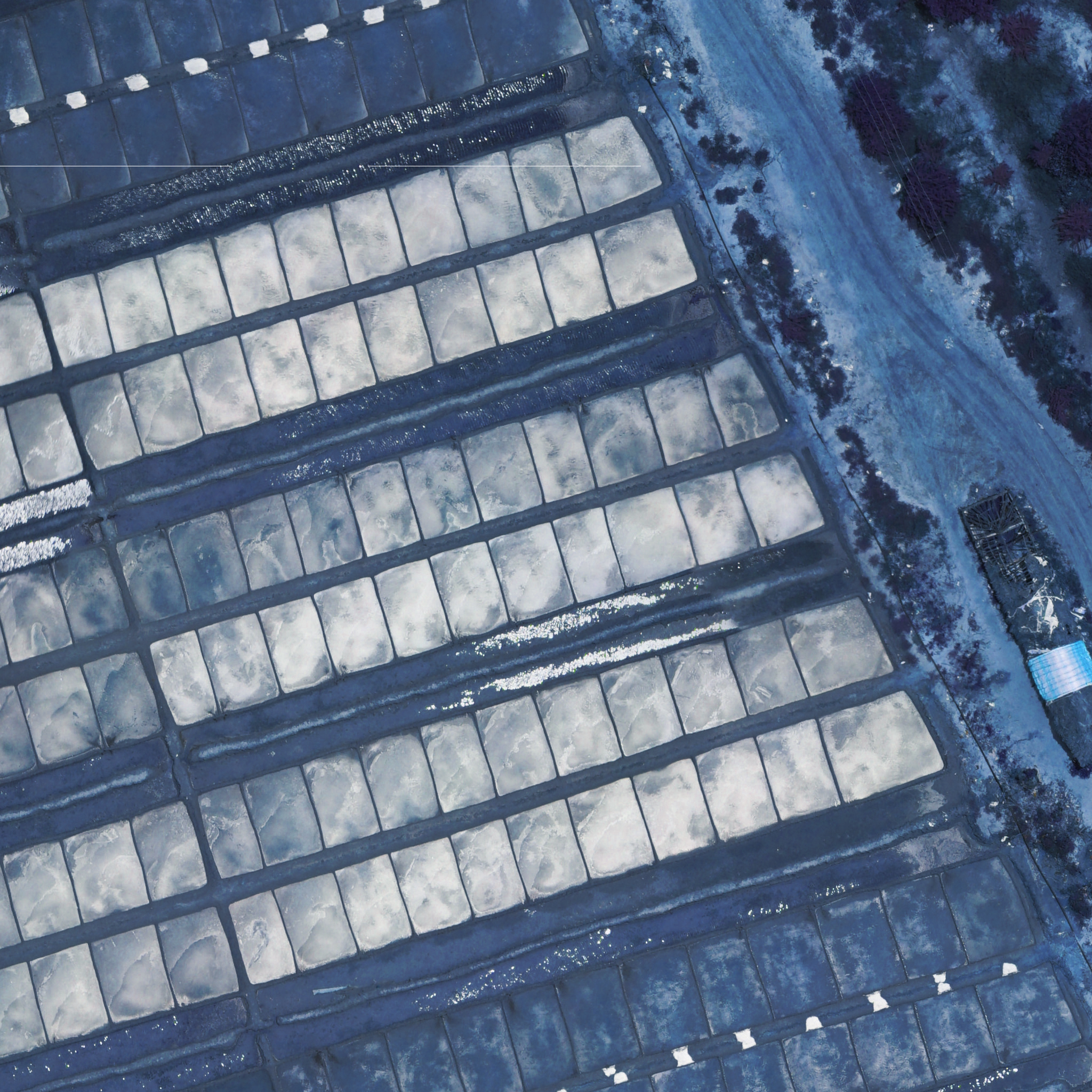
 Remote Sensing & Map ProductionLarge scale map production using Aerial/Drone, Lidar, GPR
 -
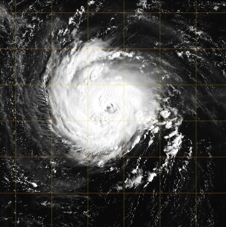
 Earth Observation & Spatial AnalyticsGIS Data Interpretation, Exploration & Modeling
About Us
India’s leading Startup in Geospatial Industry
We're Strava Technologies® Private Limited, India’s leading Startup for Geospatial Products and Geospatial Applications provider in the Government sector. Being the Space Technology Startup company, we started with large scale 3D Map production and Industry 4.0 Space Technology application development. But now we also extended our arms into a wide range of Geospatial products development, System Integrator in GIS Solutions, and Geospatial technology consulting in government sectors around the world in geospatial solution architecting to solve the citizens problems and thus to improve their lives. We have made our presence across 25+ State & National government departments in India and across Asia-Pacific & European countries.
LEARN MORE


Our Services
We specialized in Geospatial Product Development

GIS/GeoSpatial
Application Development
Aerial/Drone, Lidar, GPR
2D/3D Map Production
Data Analytics
Spatial Data Analytics

Consulting
Tech Consulting


Join with us to explore future geospatial application trends that meet the power of location.
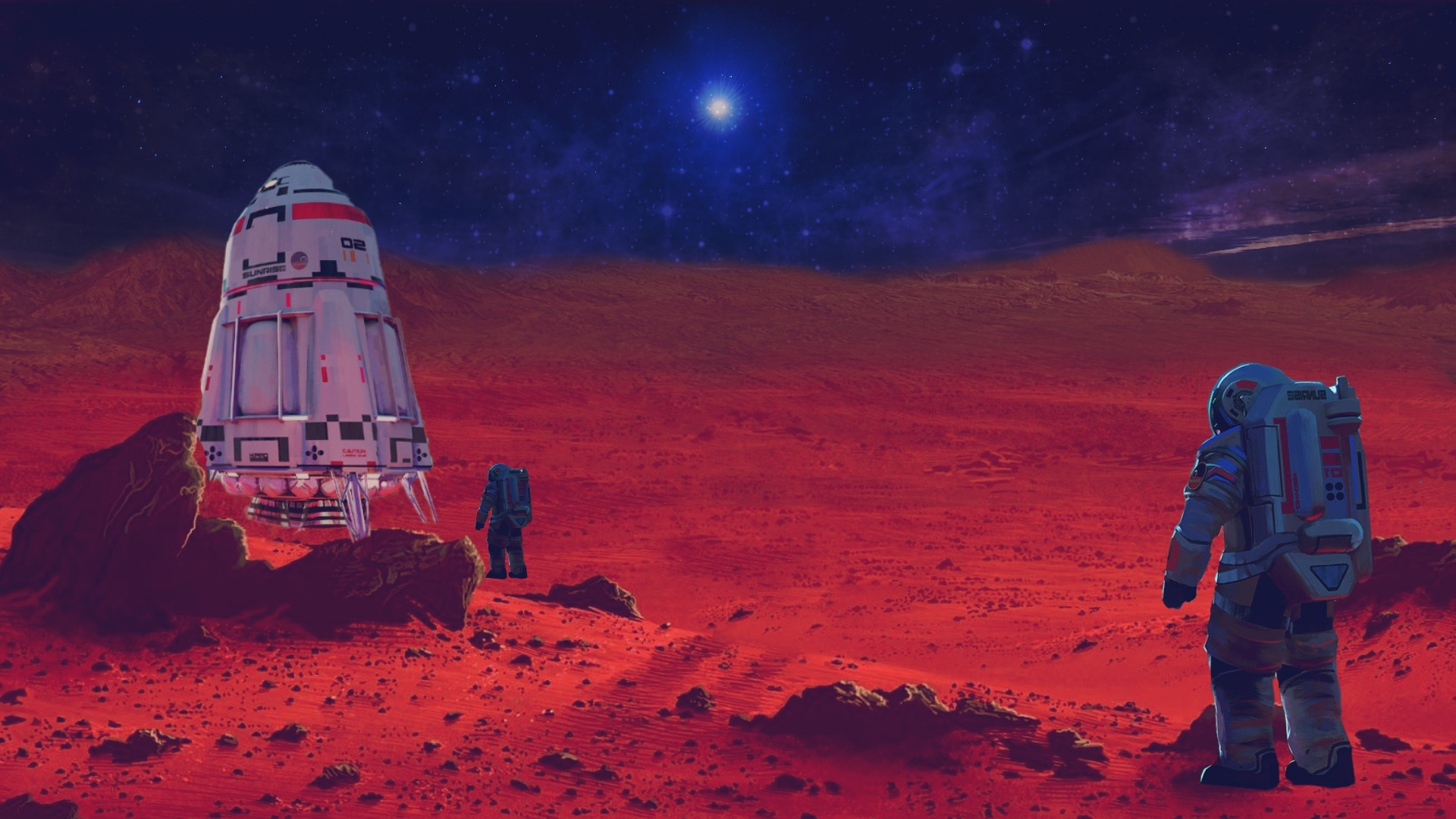
Our Technology
We are working with Next Generation Geospatial Technologies
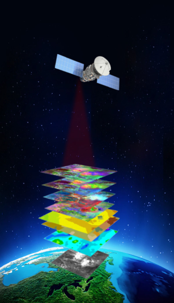
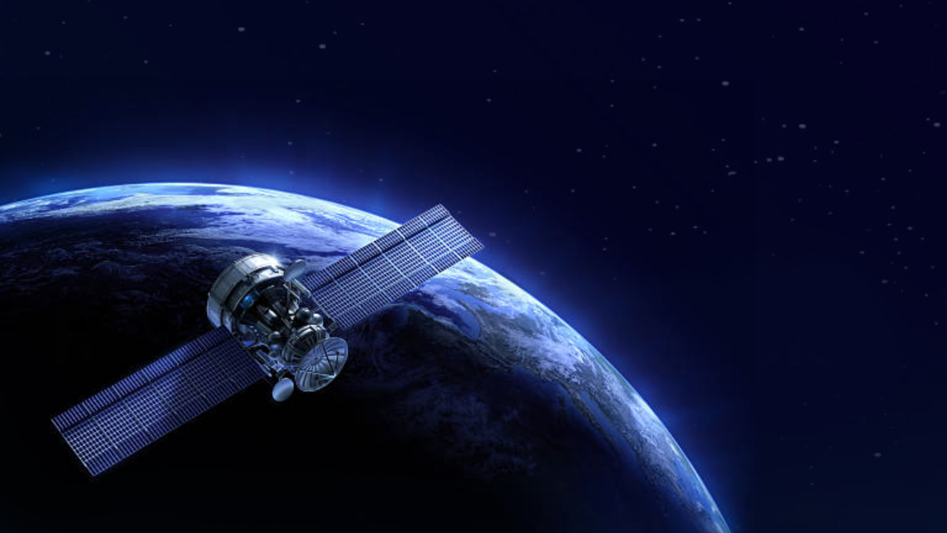
Remote Sensing
The remotely sensed data of land use, land cover & topography etc. with demographic & socioeconomic data to create models help a decision maker to make better decisions on a problem statement such as land conversion, deforestation etc.
GNSS
Global Navigation Satellite System positioning solutions - We are specialized in building precise location services with accuracy down to a few centimeters, so we can easily integrate the solution into a UAV platform and its high-precision GNSS increases the quality of final orthomosaics.
Geo Visualization
The future of actionable insights of Spatial Data is Geo Visualization. Customers will get an enhanced data visualization effect that helps them to quickly identify & take decision of a Geographical space. It makes you visualize your data from country to street level in a multiple layers data concept.
Geo-Ai
Geospatial.AI, provides an enhanced version of Geo Spatial Enterprise Application. Spatial Data Analytics using GeoAI helps our customers to analyze large meta data, spatial data etc. to improve the identification of Spatial Big Data in Location Intelligence.
Drone Tech
We are working Smarter with Drone Data. We are Creating accurate high-resolution maps, reports, applications and 3D models, as well as real-time 2D Live Maps for immediate site analysis. It’s truly redefining an industry where accuracy and safety are of equal importance.
GIS
Geographical Information System, helps the industry to manage, analyze, and visualize geographic data. With this unique capability, GIS reveals more in-depth insights into data, such as patterns, relationships, and situations - helping users make smarter decisions.


Our Clients/Partners
We Value Our Clients and Partners